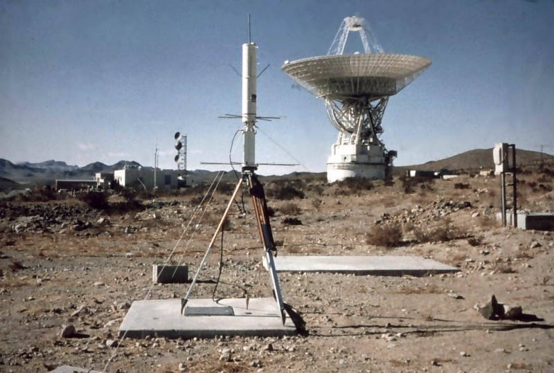
The primary role of the world’s first satellite navigation system was to ensure accurate location information on American Polaris ballistic missile submarines.
On this day, for the first time in history, a navigation satellite was successfully launched. It was the beginning of the era of satellite navigation, which is flourishing today via GPS. The first navigation satellite system was the Transit system, funded by the U.S. Navy. Namely, the primary role of the world’s first satellite navigation system was to ensure accurate location information on American Polaris ballistic missile submarines. These submarines could target USSR with thermonuclear warheads while submerged.
It is interesting that the idea of satellite navigation dates back to the era of the Soviet launch of Sputnik – the first satellite in history. To be more precise, two American scientists figured out that the satellites moving fast in orbit could be used to calculate the coordinates of the body on the surface of the Earth. This was no trivial matter, because the parameters of the satellite orbit must be known for such calculations, where the position of someting is calculated using the so-called Doppler effect (the change in frequency of a wave, which occurs when the emitter moves).
U.S. submarines, in order to perform these calculations, had to be equipped with special computers. It was the beginning of the 1960s, so that a single computer small enough to place inside a submarine could not be found at first. Therefore, special, relatively small and waterproof computers were developed.
The satellite that was launched on this day (Transit 1B) was sent into orbit by a Thor-Ablestar rocket. It moved about 1,100 kilometers above the Earth’s surface. It is interesting that the first satellite navigation system did not allow the continuous monitoring of the position (unlike a modern GPS). Namely, the Transit system could give the exact location at approximately every hour. This was not a problem for nuclear submarines, because they used an inertial guidance system in the meantime.


